Railways rolls out amazing tech solution to keep passengers safe
The Northeast Frontier Railway (NFR) has successfully installed a system based on radar technology at Saraighat Rail-cum-Road Bridge in Assam capital town Guwahati, which will alert the railway men regarding abnormal rise in water level of major rivers.
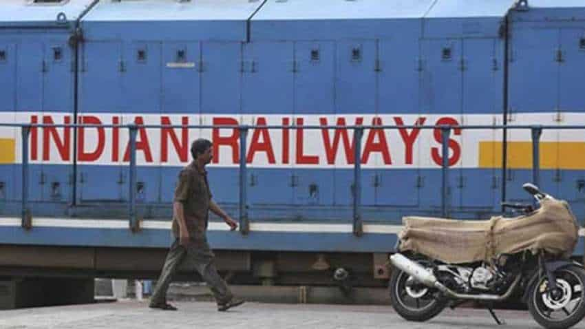
The Northeast Frontier Railway (NFR) has successfully installed a system based on radar technology at Saraighat Rail-cum-Road Bridge in Assam capital town Guwahati, which will alert the railway men regarding abnormal rise in water level of major rivers. The system will automatically and continuously monitor the water level in Brahmaputra river and send SMS to pre-determined mobile phones at regular intervals, said NFR Chief Public Relation Officer P.J. Sharma on Monday.
"This automated system is an improvement over manual mode of recording in use so far. Soon it will be integrated with the railways Track Management System (TMS). Similar system will be installed in total 10 bridges within NFR soon," he said.
The move is part of a nationwide programme to adopt modern technology to alert the railways regarding abnormal rise in water level of major rivers, he aded.
TRENDING NOW

WPL 2024 Auction Live Streaming: When and where to watch Womens Premier League Auction FREE Live Online and TV - Check Date and Time

Aprilia RS457: Aprilia's first made-in-India motorcycle to launch today - Check price, specifications

India vs South Africa 2023-24: T20, ODI, Test Matches Full Schedule, Match Dates, Time in IST, Venues, Squad, Free Live Streaming Details

RBI to set up cloud facility for financial sector and fintech repository; here is what you need to know

HDFC SKY redefines share market navigation with advanced demat account app for seamless wealth creation

RBI keeps repo rate steady for the 5th time: Here is what market experts, analysts and industry leaders say

RBI monetary policy | MPC keeps repo rate unchanged at 6.5% for fifth consecutive time; top highlights
"Railway men looking after the system will get alert signals as soon as the water level in the river crosses danger level, so that train services can be suitably regulated to obviate any danger. In this system, electro-magnetic waves generated in the instrument passes through the air and reaches water surface and comes back to the sensor," Sharma said.
Watch this Zee Business video here:
"The distance between the instrument and water surface is calculated from travel time of waves. Thus, a very accurate and reliable level of water is found. From site, the data goes directly to the Master System through GPRS. Alert signals are automatically sent to cell phones and TMS through an Internet-based system," he added.
10:42 am